Member only content free until 26/05/2024
To continue reading this article and enjoying free access to all Utility Week’s content up to the 26/05/2024 Register today!
Ready to become a member?
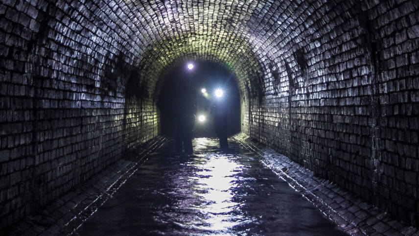
Anglian Water has reduced blockages in its sewer network by 51% with a pollution risk mapping tool.
The geospatial technology helps the company identify blocks in networks by creating a real-time picture of the pipes to allow proactive interventions.
This has cut blockages by half and reduced associated flooding and pollution incidents.
The technology allows technicians to prioritise work by identifying hotspots in the networks to optimise flow and pipe performance.
In its first six months of use, Anglian cleared eight tonnes of debris and cleaned 112km of pipes by deploying the risk tool developed by Esri.
It enabled a shift from reactive to proactive maintenance, Michael Wingell, geospatial manager at Anglian, said.
“This new way of working helps prioritise work and investment across the network. Every blockage cleared means a reduction in the number of flooding or pollution incidents, saving both time and money and having less environmental impact.”
The tool assesses location, material, size, proximity to the water course, historic pollution incidents to identify high risk areas in need of intervention.
So far, it has identified more than 1,000 blockages and 1,700 structural defects, which allowed the company to fix any problems more quickly.
In locations with lots of fast food outlets or restaurants, the tool has enabled Anglian to communicate with these eateries about proper disposal of fats, oils and grease to stop blockages.
The company is working to integrate flow sensor data from across its network and to use the risk tool to share data and collaborate with third parties.
This will include the Environment Agency and local authorities in the event of flooding or extreme weather events.


Please login or Register to leave a comment.