The 3D models have been created by aerial mapping company Bluesky and are being used by the @one Alliance collaboration.
It comprises consultants and contractors working together to deliver more than half of Anglian Water’s capital investment programme.
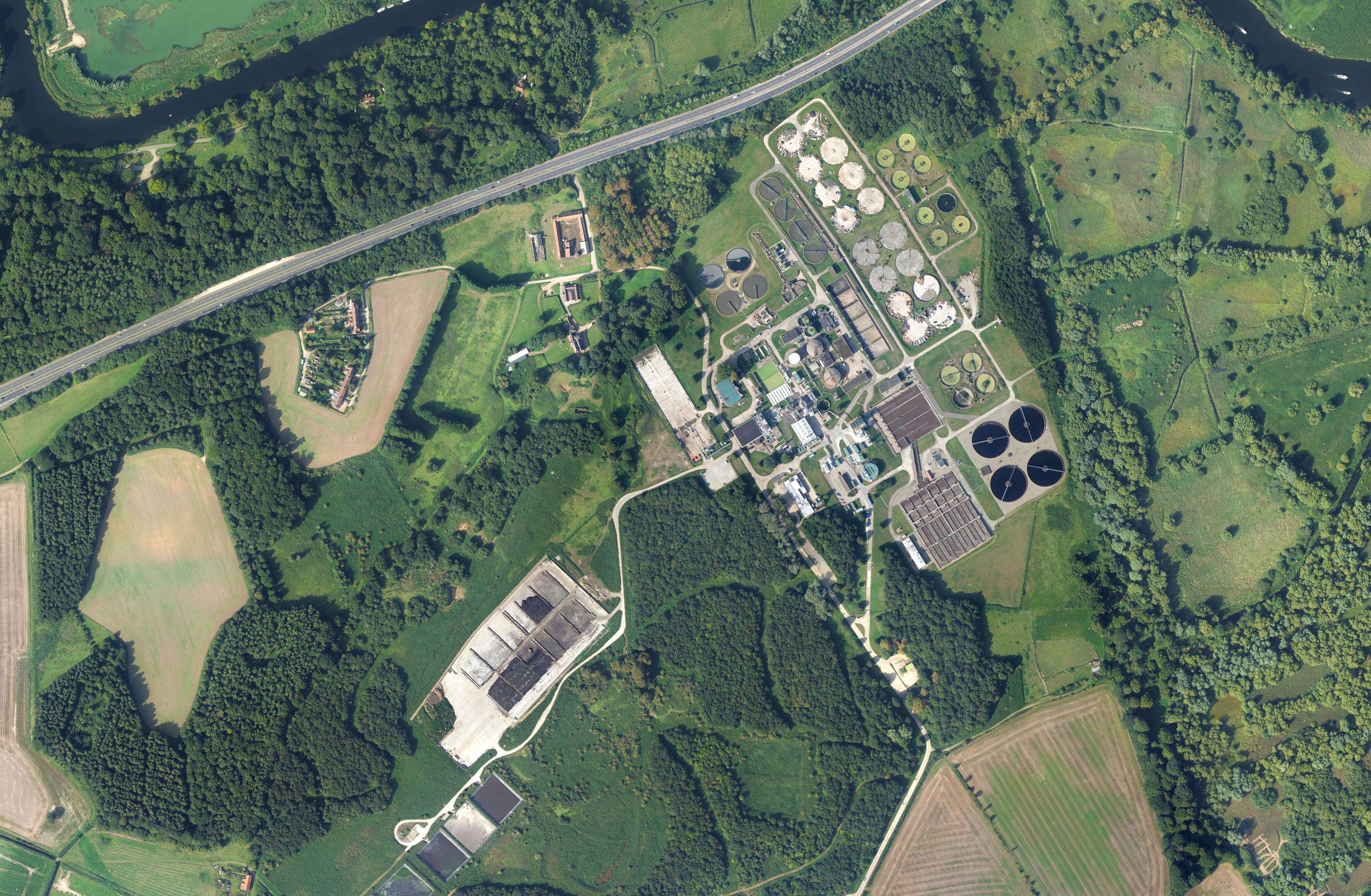
Bluesky models have already been used by the @one Alliance as part of a £3 million scheme to upgrade pumping stations and reduce the risk of flooding in Great Yarmouth and an ambitious project to relocate Cambridge’s wastewater recycling facility to Waterbeach.
Clare Kovacs, 4D planner at the Anglian Water @one Alliance, said: “The models from Bluesky are an important starting point when developing a digital project environment.
“The Bluesky models enable us to create understandable but still accurate visualisations that are used at every stage of the project lifecycle. We use the Bluesky models to inform designs, communicate ideas and gather public support.”
She added: “In addition to helping communicate and engage the Bluesky models also allows us to digitally rehearse the build sequence, giving the model context.
“This can highlight potential issues onsite saving time, and therefore costs, and mitigating risk.”
The @one Alliance will design and build around 800 schemes worth approximately £1.2 billion including water and water recycling treatment centres serving more than six million people in eastern England (and the Hartlepool Water region) and maintaining and improving the region’s water mains and sewerage network.
Alliance partners are Anglian Water Asset Delivery, Balfour Beatty, Barhale, MMB, SWECO, Skanska and Stantec Treatment.