A trio of water companies have launched interactive near-real time digital maps of storm overflows in their regions ahead of bathing water season.
Northumbrian, United Utilities and Yorkshire have all launched their respective maps, which show the locations of storm overflows and outfalls across their region.
The maps also present data about ongoing operations and users can search for when the most recent discharges occurred.
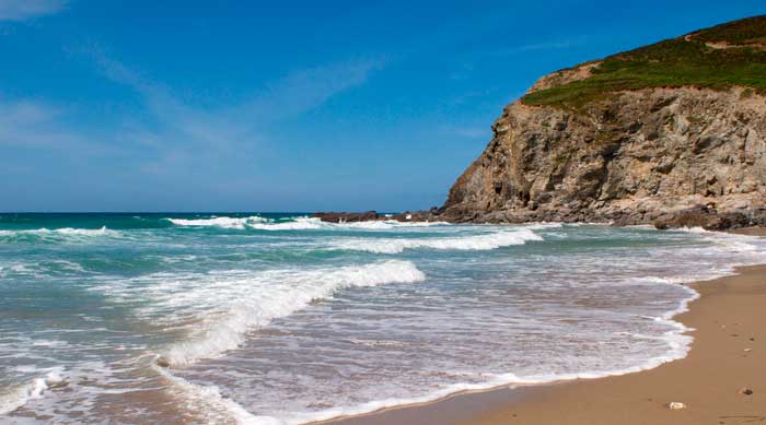
The live maps are designed to help the public make informed decisions about whether to swim or paddle in a river or the sea.
By the end of 2023, water and sewerage companies in England fitted all their storm overflows with event duration monitoring devices. These have provided the most complete picture of overflows in different parts of each companies’ region.
The launch of the digital maps collates the data from these monitoring devices and sensors and displays it in an accessible format for customers to use.
Richard Warneford, wastewater director at Northumbrian explained transparency about overflows was essential. The company began a voluntary alert system in 2011 with Surfers Against Sewage but the map published now is the first time data is available for its whole region.
“We are committed to working harder and faster to reduce our reliance on Storm Overflows and their impact on our environment and that’s why behind this map is an ambitious investment programme, which will see us investing more than £1.7 billion to improve the environment,” Warneford said.
“It’s also backed by a pledge to eliminate serious pollution events and deliver a 30% reduction in all pollution incidents preventing sewage from entering our rivers, waterways and seas.”
Yorkshire’s map shows the live status of each of the 2,180 overflows in its region, and when they last discharged.
Ben Roche, director of wastewater at Yorkshire, said: “We know replumbing the whole of Yorkshire is not a quick fix as it would be both significantly disruptive and costly to customers.
“The map shows just how big an engineering challenge this is from the vast numbers of overflows we have.”
The company is investing £180 million by the end of AMP7 to tackle 134 of the most frequently discharging overflows. It has completed 62 projects already and has more underway.
Yorkshire’s PR19 business proposal included ramping investment up to £1.19 billion to further reduce discharges into watercourses.
United Utilities has the densest proportion of combined sewer networks of anywhere in the country and has the second highest number of CSOs and largest investment plans to mitigate potential harm to waterways from them. Its map shows when its 2,264 CSO points most recently discharged to inform bathers.
Thames Water was the first company to unveil a map of all its CSO points in December 2022. As the trailblazer it attracted public criticism when the data was released but shone a light on the scale of the challenge to reduce discharges.
Southern Water has an app called BeachBuoy for water users to guide people on water quality to inform decisions about entering the river or sea.
Anglian, South West and Wessex each unveiled interactive water quality maps last month also.
Bathing season each year runs 14 May to 30 September, which the Environment Agency publishes annual water quality scores for designated sites. The first designated inland site was Ilkley Wharf in West Yorkshire.